Urban design often overlooks small barriers – a single step, a narrow path, a locked door. For many, those details define daily limits. Accessible wayfinding doesn’t remove obstacles, but it reveals them. Open mapping tools now serve as decentralized guides, tracing what city plans ignore. In the hands of disabled users and allies, they become more than maps, they become memory, reshaping how we navigate space.
When Mainstream Maps Fall Short
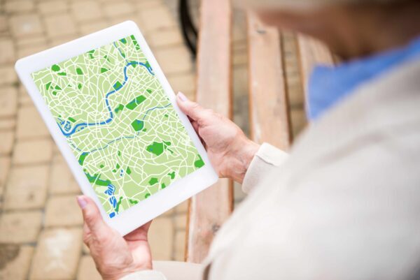
Noontime. A city block with four entrances, but only one ramp. Google Maps might show the destination, not the entry. Not the fact that the elevator’s been broken for weeks. Not the sudden step behind the glass door.
Read also: Soft2Bet inclusive technology platform
These gaps are rarely malicious. But they replicate. Repeated enough, they create ghost zones, places reachable in theory, not in practice.
OpenStreetMap, a collaborative mapping platform, began filling those silences through tags. Initially, mappers used simple tags like “wheelchair=yes” or “maybe=limited”. But those annotations became signals. Communities saw themselves reflected not in overlays, but in omissions.
And that recognition reshaped participation. In Berlin, users mapped more than 100,000 public places for wheelchair access using Wheel map app. Cafés, banks, public restrooms – each dot meant the difference between going or not.
Some entries came with images, timestamps, or user notes: “Narrow but manageable”, “Beware of loose mat”, “Staff will help with portable ramp.” Not technical. Just real. Enough to plan, to avoid, or to take a risk knowingly.
Open Mapping as Collective Navigation
Accessible wayfinding begins when movement is treated as lived – not linear. A straight path on a map means little when a slope tilts too far. Local contributors understand that. They walk, photograph, annotate. Not for recognition, but for reach.
Here’s what users now integrate into maps:
- Surface texture and width of paths
- Ramp gradients and handrail presence
- Automatic vs. manual door entry
- Noise level indicators (e.g. for sensory-sensitive users)
- Bathroom accessibility, not just presence
Much of this isn’t visible from a satellite. It takes feet on the ground, or wheels. And it takes judgment. One contributor in Toronto noted: “Technically accessible, but impossible in winter.” That kind of nuance means a lot. And only community-based systems allow it to exist. The interface itself adapts slowly. But the logic changes with each new layer – as if the city, piece by piece, acknowledges who it left out.
Making Space Visible Through Local Data
Accessibility is not a setting. It’s a condition – of presence, of visibility, of being planned for. For that to happen, the map must not assume. It must be asked. It must let data emerge from experience, not from assumption.

Many platforms now integrate layers beyond wheelchair tags:
- Visual clutter reduction for neurodivergent navigation
- Audio cues location for blind or low vision users
- Step-free routing options
- Rest stop density along walking paths
Each element answers a question mainstream tools never posed. And that’s the quiet revolution: allowing users to define what matters. Of course, not every tag is perfect. Some are outdated. Others are vague. But their very presence builds a different relationship to space. A mutual one. Users don’t simply consult the map. They build it, piece by piece.
Designing With, Not For
Accessibility begins with details – a reachable button, a door that opens, a sidewalk that stays level. In mapping, those details become declarations: “We’re here. This is our city.” Inclusive wayfinding isn’t about perfection. It names barriers, marks them, and sometimes moves around them. What was once a fixed map becomes collaborative. Authorship shifts from institutions to individuals – those who live with the cracks. Each contribution reshapes not just the data, but the experience of space. And in this authorship, a message emerges: “You’re not walking this alone. This path is shared.”
Some examples are based on open community mapping practices as outlined by OpenStreetMap and accessibility mapping projects.